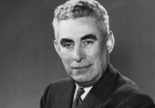
James E. Van Zandt (1898–1986) was a U.S. Navy officer and Pennsylvania congressman who served multiple terms in the House of Representatives, fought in both World Wars, and later rose to rear admiral in the Naval Reserve.
A range of free genealogical resources is available through national and local archives. These sites offer access to historical records, surname databases, and digital collections, including photos, war documents, and church records. Some are in Dutch only, while others offer English options. Whether you're tracing one ancestor or building a full family tree, these resources are a valuable starting point for exploring your Dutch roots.
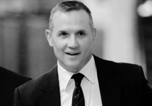
Steve Yzerman (born 1965) is a Canadian hockey legend who captained the Detroit Red Wings to three Stanley Cup championships and became one of the NHL’s greatest scorers, later serving as an executive in professional hockey.
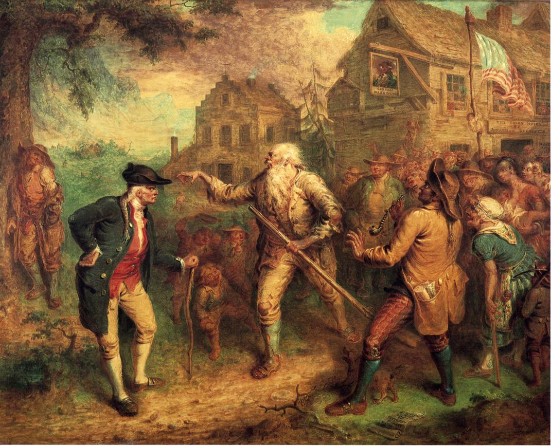
The third season of Live From New Amsterdam will begin on Thursday, October 30, 2025 when Russell Shorto speaks to Dr. Elisabeth Paling Funk about her new book, The Dutch World of Washington Irving, out now with Cornell University Press and part of our New Netherland Institute book series.
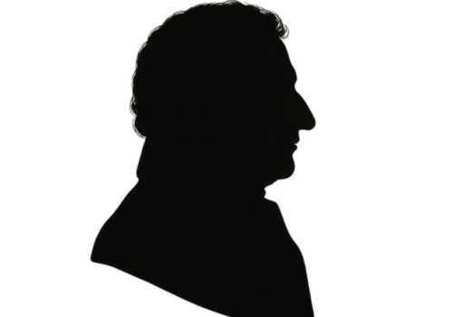
William W. Van Wyck (1777–1840) was a New York farmer and politician who served two terms in the U.S. House of Representatives from 1821 to 1825 and chaired the House Committee on Post Office Expenditures.
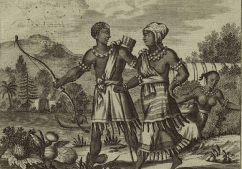
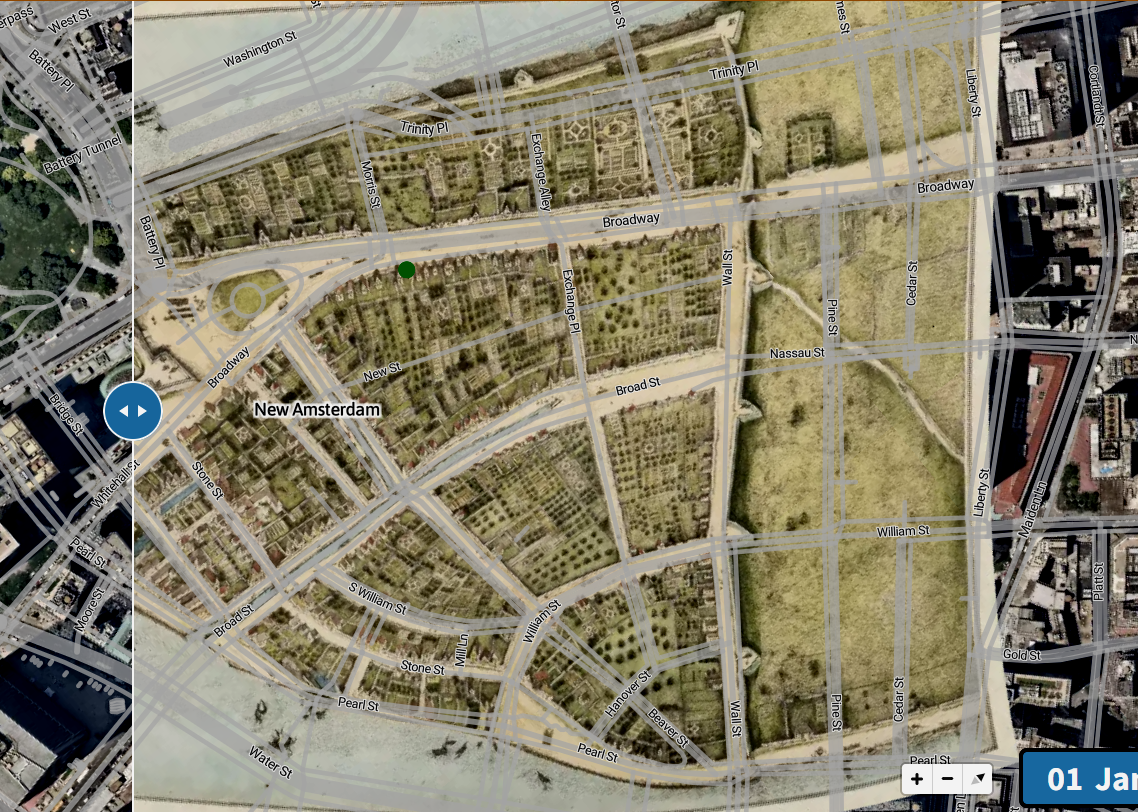
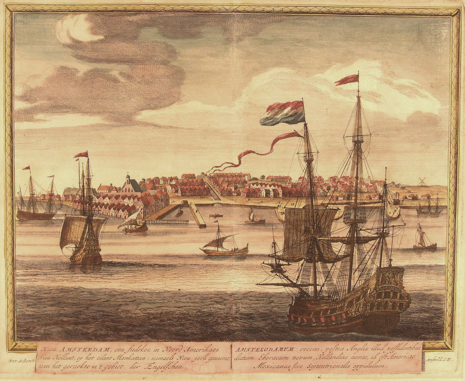
It is difficult to imagine what the first glimpse of New Netherland was like for the seventeenth-century European...

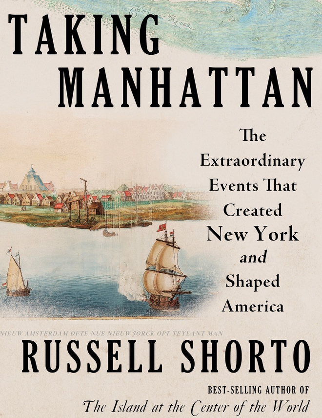
Why is New York the archetypal modern city – brash, bold, pulsing with energy? The author of The Island at the Center of the World offers up a thrilling narrative of how New York came to be.
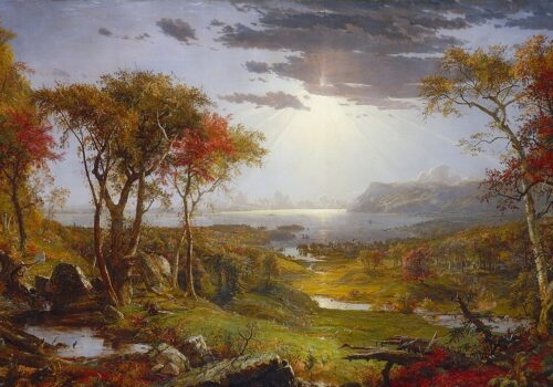
The opening of the new Tappan Zee Bridge (officially renamed the Governor Mario M. Cuomo Bridge) in September 2018 can be seen as yet another reminder of the Dutch history of the Hudson Valley. The “Zee” component of the name is clearly Dutch, meaning “sea,” as in the Zuider Zee, or southern sea, in the Netherlands. But what does Tappan mean, and why is part of a river called a sea?
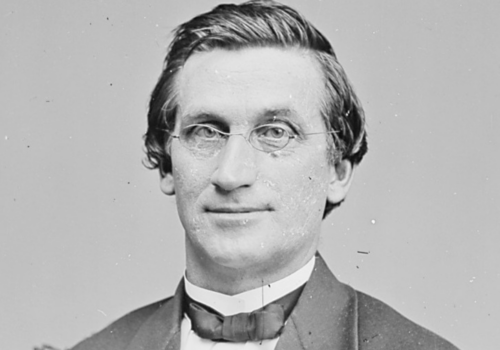
Charles Henry Van Wyck (1824–1895) was an American politician and Civil War officer who served in the U.S. House for New York and later as a U.S. senator from Nebraska, reflecting a long career in public service.
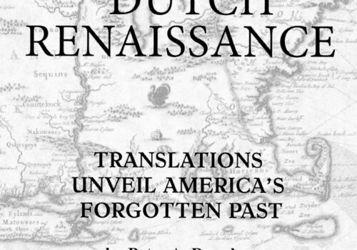
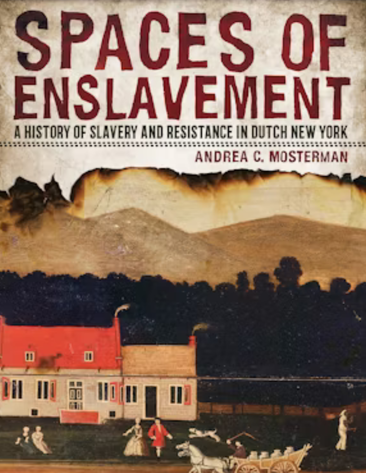
Peter Douglas’s Dutch Renaissance traces the unlikely survival of New Netherland’s records through shipwreck, war, and fire—culminating in Dr. Charles Gehring’s decades-long effort to translate the 17th-century Dutch texts and revive the colony’s forgotten voice and legacy.