

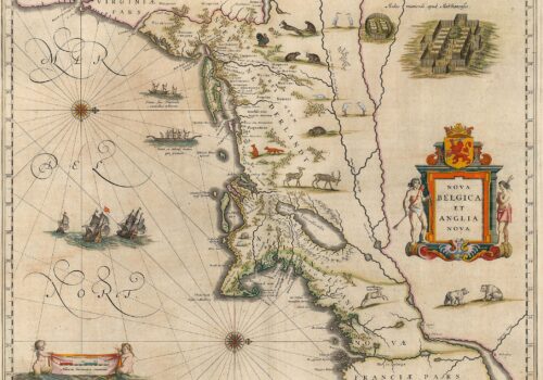
Maps from Europe’s Age of Discovery reveal how New Netherland and the Northeast took shape Charting New Netherland, 1597-1682 Maps Trace a Growing Knowledge of...

George F. Vande Woude was a pioneering Dutch-American cancer researcher, renowned for discovering the MET oncogene and leading major programs at the Van Andel Institute and National Cancer Institute.
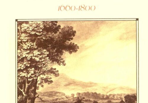
Firth Haring Fabend has studied a large colonial American family over five generations. The Haring family settled in the Hackensack Valley where they lived, prospered, and remained throughout the eighteenth century.
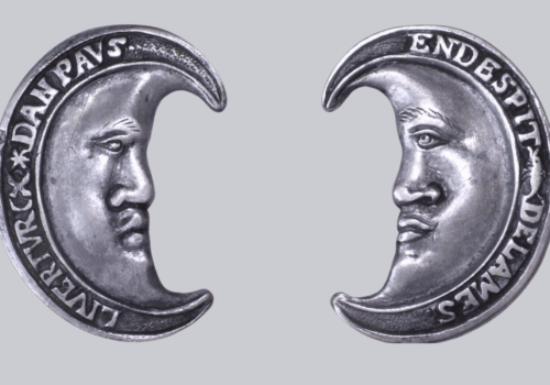
The Geuzen medal--shown here in one of its various forms--is a Dutch symbol reflecting a long history of resistance.

This first atlas devoted entirely to the Western Hemisphere is aptly named after Ptolemy, the Ancient cartographer whose Geographia was rediscovered in the Renaissance and first reprinted in Bologna in 1477. Wytfliet’s atlas, a compendium of information from others' maps, is a history of the New World to date, including discovery, history, geography, natural history, etc. The 19 maps focus on the continents’ coastal regions, leaving the clear message that information about the unknown interiors was pure speculation. (The Victorians were not the first to need to fill empty spaces!) One of the maps, Norumbega et Virginia, represents the best information about the area to date. It also continues the omissions and errors of de Jode and Quad: no Hudson River, no New York Bay, still no Long Island.

Tiger Woods (born 1975) is an American professional golfer widely regarded as one of the greatest in history. A multiple major champion, he dominated world golf rankings and transformed the sport’s global popularity and commercial success.
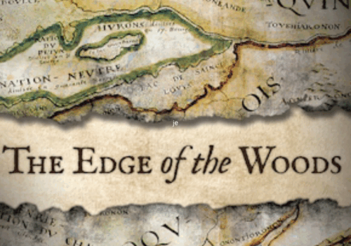
Drawing on archival and published documents in several languages, archeological data, and Iroquois oral traditions, The Edge of the Woods explores the ways in which spatial mobility represented the geographic expression of Iroquois social, political, and economic priorities.
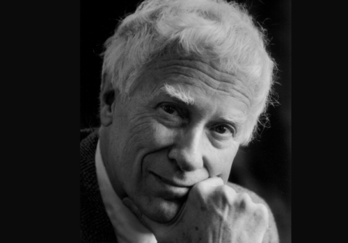
Nicholas Wolterstorff (born 1932) is an American philosopher known for work in epistemology, philosophy of religion, justice, and aesthetics. A longtime Calvin College professor, he later taught philosophical theology at Yale Divinity School.
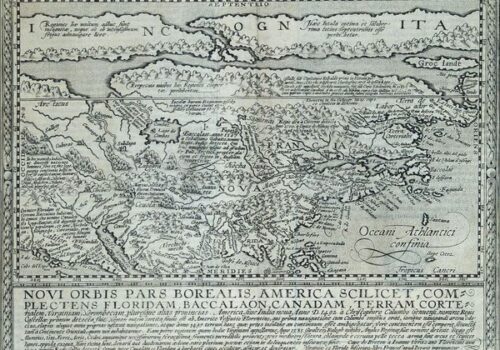
This map from Quad’s general atlas of the world, an expansion of his 1592 edition, is a reduced version of Cornelis de Jode’s Americae Pars Borealis, Antwerp, 1593. It does not help much to locate the future New Netherland, but it does help to understand the limits of European perspective on the new continent. Although it appeared more than 100 years after the entry of the continent into European consciousness, it shows how little was known about the area between Virginia and the St. Lawrence. The map reflects details taken from Mercators’ 1569 atlas. The Mercator projection gives a squeezed effect to the northern extremities of the continent.
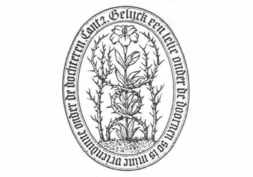
The Lily among Thorns is one of the early symbols of the Dutch Reformed Church. It originated in the mid-16th century as the rebellion of the Low Countries against Spain.