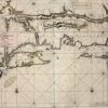
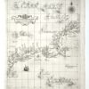
This map from Quad’s general atlas of the world, an expansion of his 1592 edition, is a reduced version of Cornelis de Jode’s Americae Pars Borealis, Antwerp, 1593. It does not help much to locate the future New Netherland, but it does help to understand the limits of European perspective on the new continent. Although it appeared more than 100 years after the entry of the continent into European consciousness, it shows how little was known about the area between Virginia and the St. Lawrence. The map reflects details taken from Mercators’ 1569 atlas. The Mercator projection gives a squeezed effect to the northern extremities of the continent.
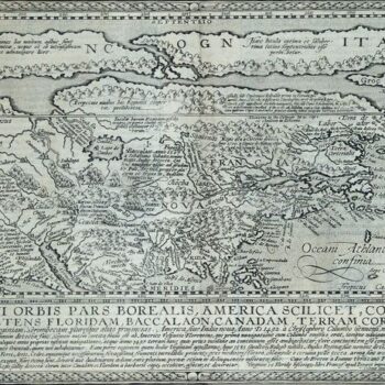
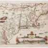
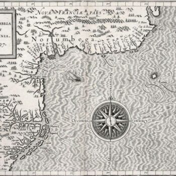
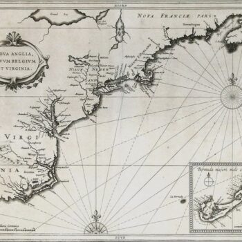
This first atlas devoted entirely to the Western Hemisphere is aptly named after Ptolemy, the Ancient cartographer whose Geographia was rediscovered in the Renaissance and first reprinted in Bologna in 1477. Wytfliet’s atlas, a compendium of information from others' maps, is a history of the New World to date, including discovery, history, geography, natural history, etc. The 19 maps focus on the continents’ coastal regions, leaving the clear message that information about the unknown interiors was pure speculation. (The Victorians were not the first to need to fill empty spaces!) One of the maps, Norumbega et Virginia, represents the best information about the area to date. It also continues the omissions and errors of de Jode and Quad: no Hudson River, no New York Bay, still no Long Island.
Maps from Europe’s Age of Discovery reveal how New Netherland and the Northeast took shape Charting New Netherland, 1597-1682 Maps Trace a Growing Knowledge of...
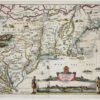
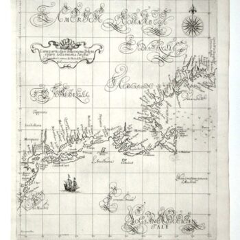
This 1630 map by Johannes de Laet marks a cultural and cartographic shift from rhetorical speculation to empirical accuracy. It’s the first printed map to name New Amsterdam and Manhattan, shown correctly as an island. As a West India Company director, De Laet drew from firsthand colonial reports, making this the earliest reliable depiction of New Netherland.
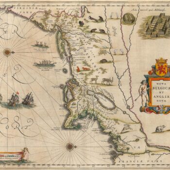
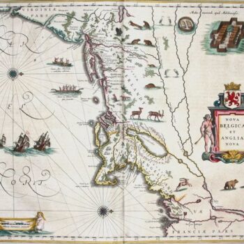
This map of New Netherland and New England, based on Adrian Block’s 1614 chart, defined Manhattan and Long Island as islands and became the cornerstone of Dutch claims in the lower Northeast. Richly decorated with regional fauna, it also shows fortified Mohawk villages, canoes, and European ships reflecting growing knowledge and economic potential.
Mapmaker: Robert Dudley Tinting (adding color) either contemporaneously or later has always been a part of map making. An exception are the 130 maps of...
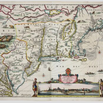
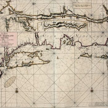
Mapmaker: Nicolaes Visscher The Jansson-Visscher series of maps of New Netherland and New England is an example of the practice of the replication, correction and addition...
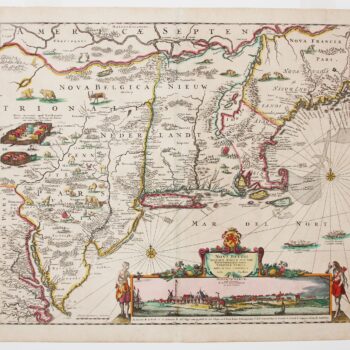
Mapmaker: Justin Dankerts This third-generation example of the Jansson-Visscher series is most lavishly decorated. It adds additional animals and place names and reflects with greater...
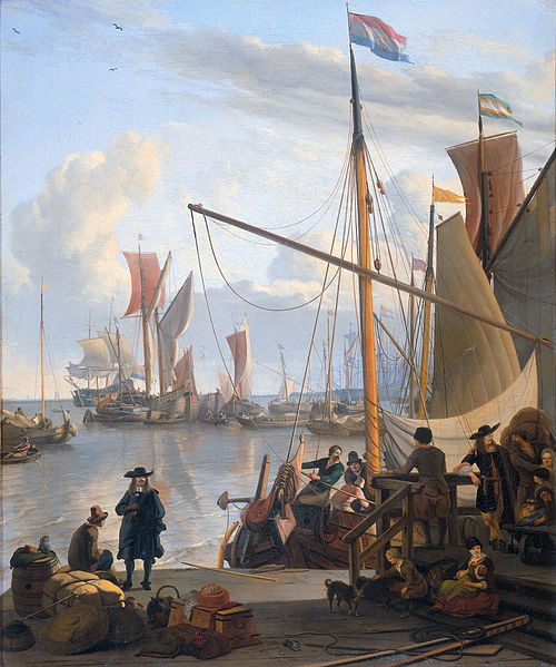
Mapmaker: Johannes van Keulen The part so far left out of this tale of European awareness of Northeast America are the maps which guided the...