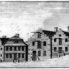


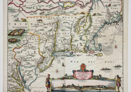
Mapmaker: Justin Dankerts This third-generation example of the Jansson-Visscher series is most lavishly decorated. It adds additional animals and place names and reflects with greater...
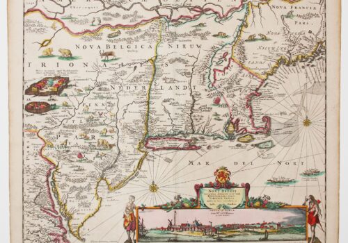
Mapmaker: Nicolaes Visscher The Jansson-Visscher series of maps of New Netherland and New England is an example of the practice of the replication, correction and addition...
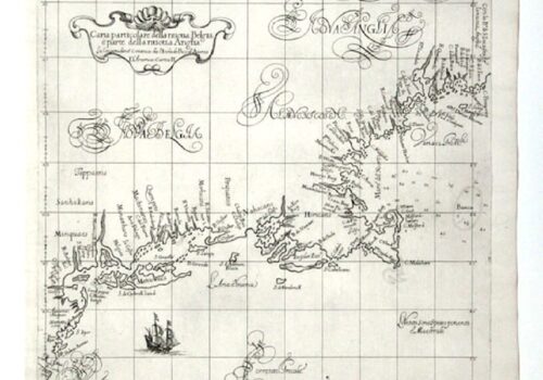
Mapmaker: Robert Dudley Tinting (adding color) either contemporaneously or later has always been a part of map making. An exception are the 130 maps of...
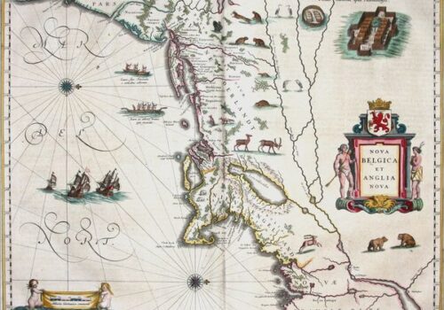
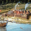
This map of New Netherland and New England, based on Adrian Block’s 1614 chart, defined Manhattan and Long Island as islands and became the cornerstone of Dutch claims in the lower Northeast. Richly decorated with regional fauna, it also shows fortified Mohawk villages, canoes, and European ships reflecting growing knowledge and economic potential.
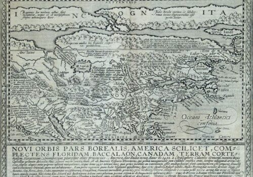
This map from Quad’s general atlas of the world, an expansion of his 1592 edition, is a reduced version of Cornelis de Jode’s Americae Pars Borealis, Antwerp, 1593. It does not help much to locate the future New Netherland, but it does help to understand the limits of European perspective on the new continent. Although it appeared more than 100 years after the entry of the continent into European consciousness, it shows how little was known about the area between Virginia and the St. Lawrence. The map reflects details taken from Mercators’ 1569 atlas. The Mercator projection gives a squeezed effect to the northern extremities of the continent.