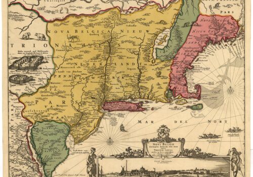
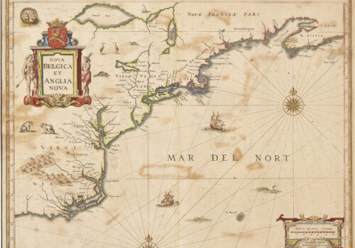
Nova Belgica et Anglia Nova (New Netherland and New England). Amsterdam, 1647. Mapmakers: (Janssonius or Jansson) Jansz and (Johannes or Johan) Jan In this second...
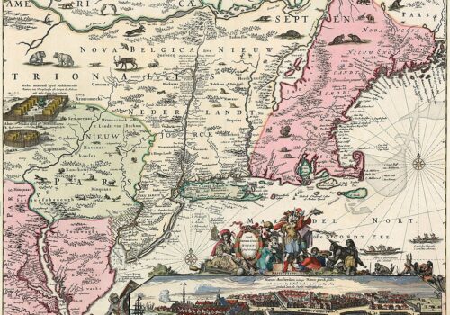
Totius Neo Belgii, nova et accuratissima tabula. (All of New Netherland Newly and Most Accurately Drawn.) Amsterdam, 1720’s Mapmaker: R. & J. Ottens The copper...
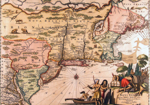
Novi Belgii, quod nunc Novi Jorck vocatur, Novaeque Anglia et partis Virginiae. (New Netherland, Which is Now Called New York, and New England and Part...
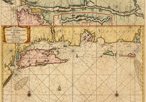
Pas-Kaart vande zee kusten van Niew Nederland anders genaamt Niew York. (Chart of the Sea Coast of New Netherlands Otherwise Named New York.) 1685 Mapmaker:...
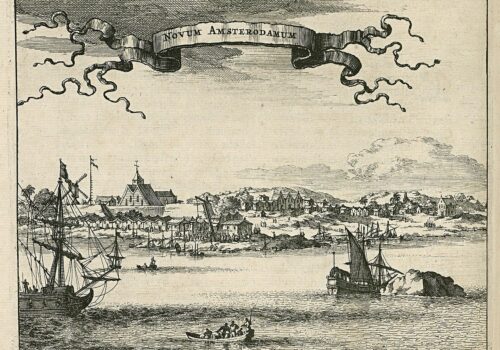
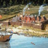
Mapmaker: Montanus, Arnoldus This map was first published in Montanus’ book De Nieuwe en Onbekende Weereld published in Amsterdam in 1671. It depicts New Amsterdam as it...
Novi Belgii Novaeque Angliae. (New Netherland and New England.) mid-1650’s Mapmaker: Justus Danckerts This plate was produced in the mid-1650’s, engraved as a copy of...
Nova Belgica et Anglia Nova. (New Netherland and New England.) 1694. Mapmakers: Peter Schenk and Gerard Valk Janssonius sold his 1635 plate to Peter Schenk...
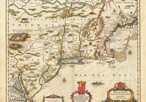
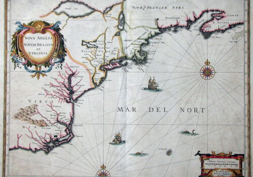
Belgii Novi, Angliae Novae et Partis Virginiae (New Netherland, New England and parts of Virginia) 1650. Mapmakers: (Janssonius or Jansson) Jansz and (Johannes or Johan)...
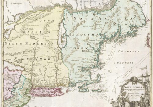
Nova Anglia Septentrionali Americae implantate (New England Situated in North America) Nuremberg, 1724 Mapmaker: Johann Baptiste Homann One of the few collectible maps of the...
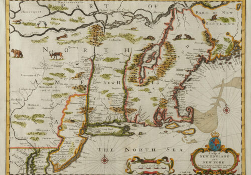
A Map of New England and New York Sold by Tho: Basset in Fleetstreet and Richard Chiswell in St. Paul’s Church Yard – F. Lamb...