Jane Wyatt (1910–2006) was an American film and television actress best known for portraying Margaret Anderson on the long-running series Father Knows Best, earning three Emmy Awards and appearing in films, Broadway productions, and later television dramas.

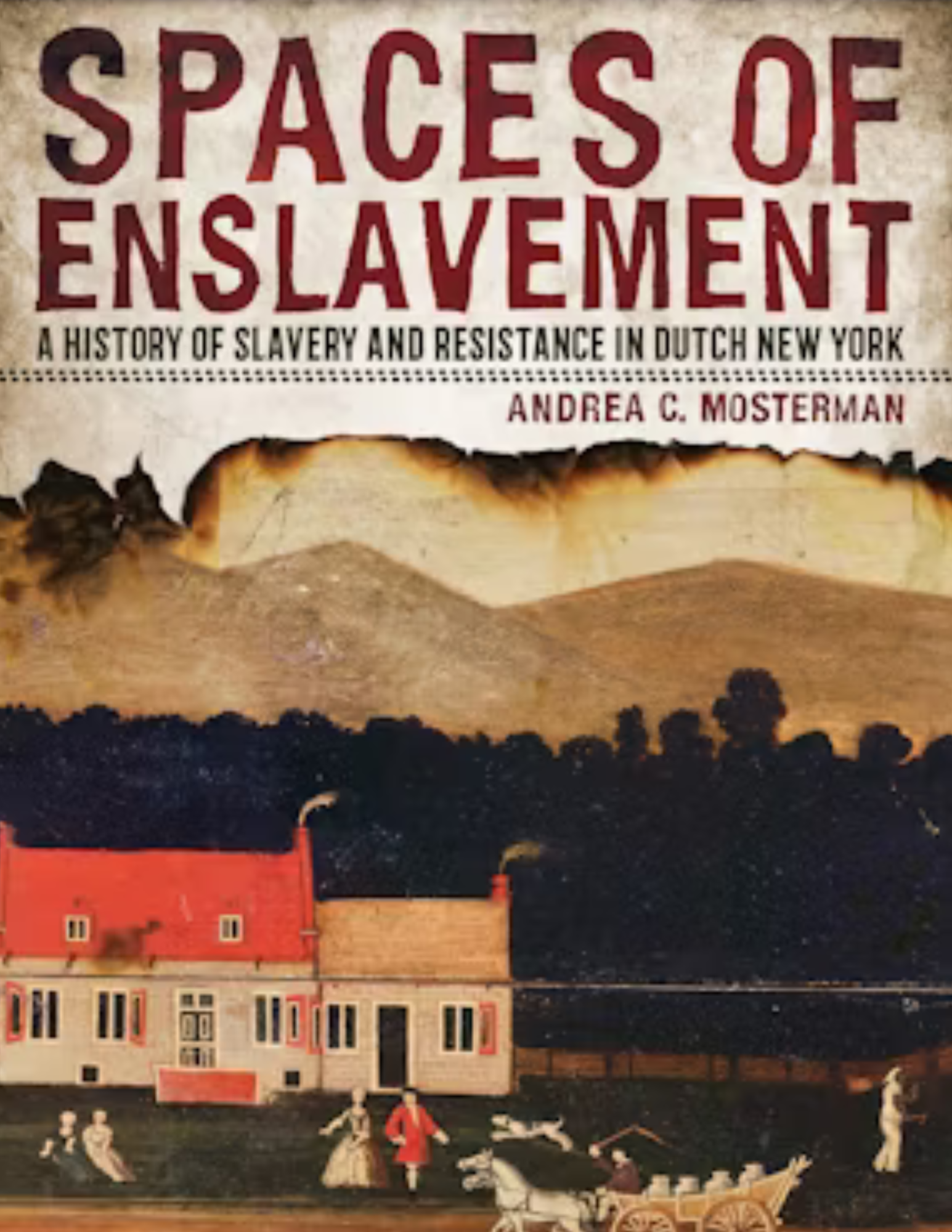
In Spaces of Enslavement, Andrea C. Mosterman addresses the persistent myth that the colonial Dutch system of slavery was more humane.
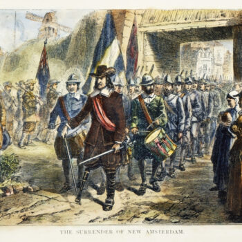
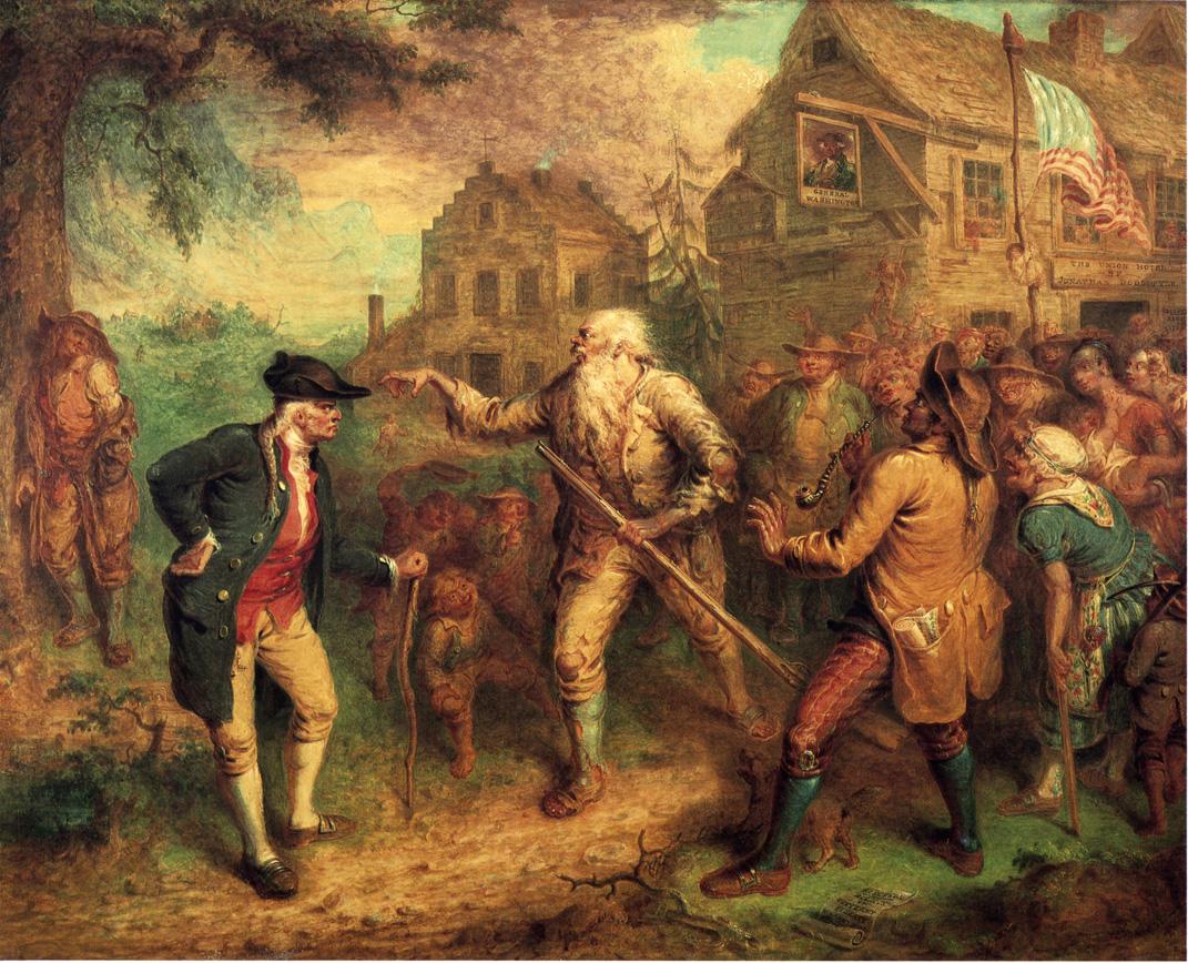
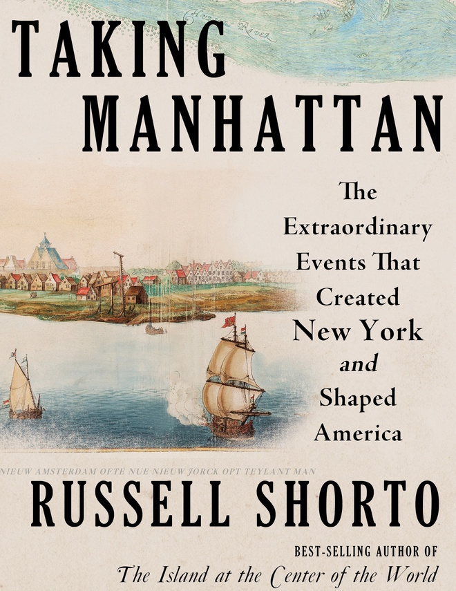
Perhaps for many people the most well known inhabitant of New Netherland is Director-General Peter Stuyvesant, and his most notable physical feature was, in his later years at least, a wooden leg. Let’s see how he became Peg Leg Pete.
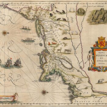
Maps from Europe’s Age of Discovery reveal how New Netherland and the Northeast took shape Charting New Netherland, 1597-1682 Maps Trace a Growing Knowledge of...
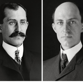
Wilbur (1867–1912) and Orville Wright (1871–1948) were American aviation pioneers who achieved the first successful powered airplane flight in 1903 at Kitty Hawk, developing the three-axis control system that became fundamental to modern aircraft design.
Firth Haring Fabend has studied a large colonial American family over five generations. The Haring family settled in the Hackensack Valley where they lived, prospered, and remained throughout the eighteenth century.
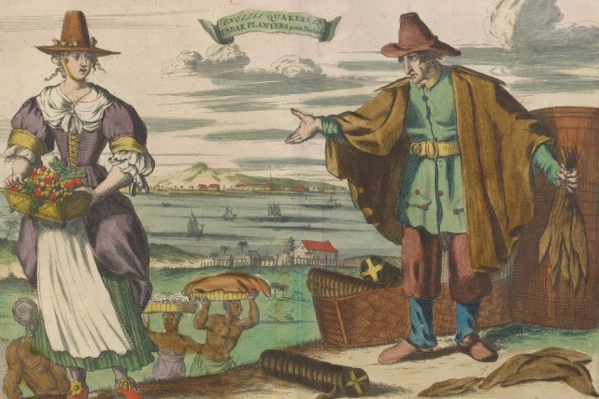
Those concerned with the study of New Netherland will be familiar with the Dutch East India Company, the Vereenigde Oostindische Compagnie (VOC), established in 1602 to trade with India and Southeast Asia, as well as the Dutch West India Company, the Geoctroyeerde Westindische Compagnie (GWC), chartered in 1621 for a trade monopoly in North America, the Caribbean, and Brazil.
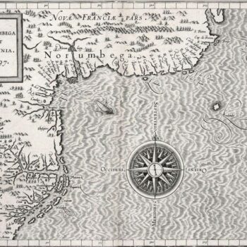
This first atlas devoted entirely to the Western Hemisphere is aptly named after Ptolemy, the Ancient cartographer whose Geographia was rediscovered in the Renaissance and first reprinted in Bologna in 1477. Wytfliet’s atlas, a compendium of information from others' maps, is a history of the New World to date, including discovery, history, geography, natural history, etc. The 19 maps focus on the continents’ coastal regions, leaving the clear message that information about the unknown interiors was pure speculation. (The Victorians were not the first to need to fill empty spaces!) One of the maps, Norumbega et Virginia, represents the best information about the area to date. It also continues the omissions and errors of de Jode and Quad: no Hudson River, no New York Bay, still no Long Island.
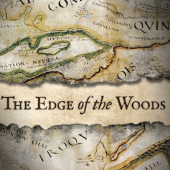
Drawing on archival and published documents in several languages, archeological data, and Iroquois oral traditions, The Edge of the Woods explores the ways in which spatial mobility represented the geographic expression of Iroquois social, political, and economic priorities.
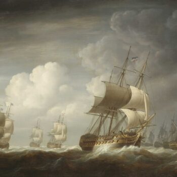
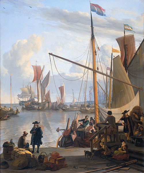
“They that go down to the sea in ships, that do business in great waters;
These see the works of the Lord, and his wonders in the deep.
For he commandeth, and raised the stormy wind, which lifteth up the waves thereof.
They mount up to the heaven, they go down again to the depths:
their soul is melted because of trouble.”
Psalm 107, 23-26