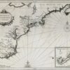
Novae Belgiae Angliae nec non parties Virginiae multis locis emendata, 1655
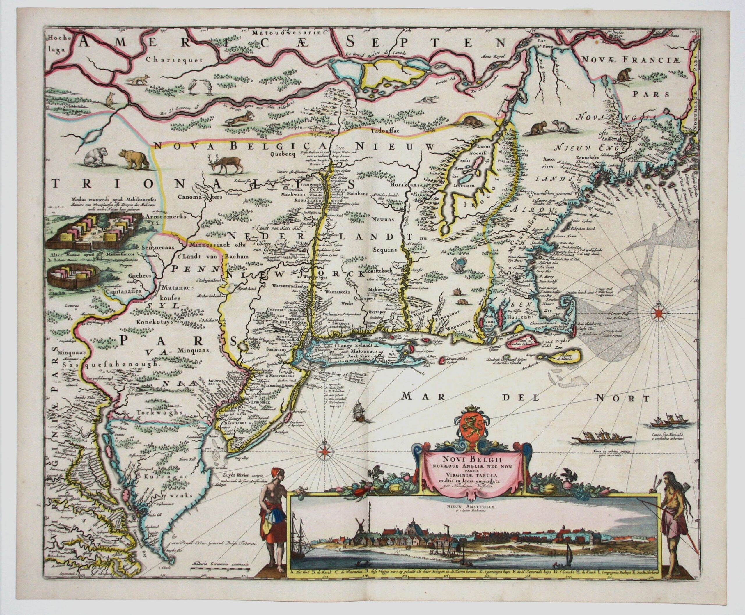
Novae Belgiae Angliae nec non parties Virginiae multis locis emendata, 1655
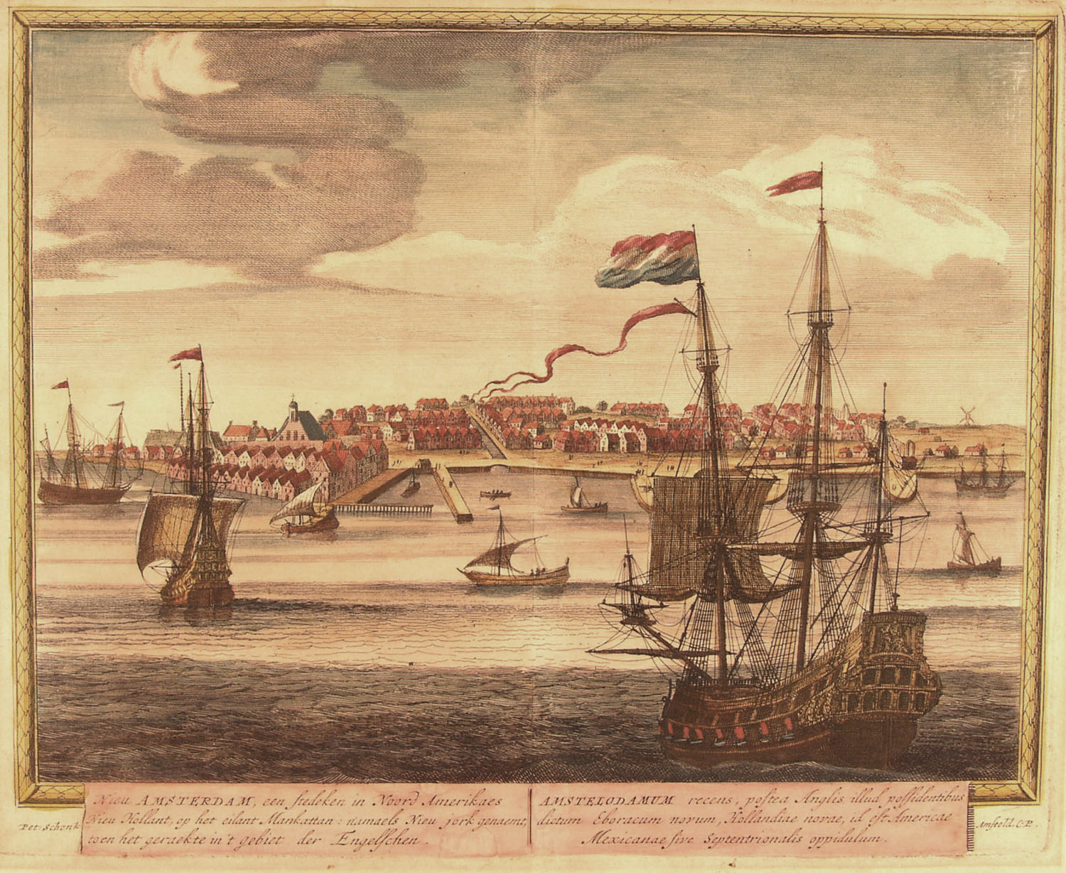
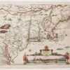
The second generation in the process of replication, correction and addition of information on the Jansson-Visscher series of maps of New Netherland and New England, this map's landmark contribution in 1652 was the addition of the insert view of Nieuw Amsterdam. We have arrived!
01
This map from Quad’s general atlas of the world, an expansion of his 1592...
02
This first atlas devoted entirely to the Western Hemisphere is aptly named after Ptolemy,...
03
This 1630 map by Johannes de Laet marks a cultural and cartographic shift from...
04
This map of New Netherland and New England, based on Adrian Block’s 1614 chart,...
05
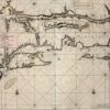
Mapmaker: Robert Dudley Tinting (adding color) either contemporaneously or later has always been a...
06
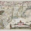
Mapmaker: Nicolaes Visscher The Jansson-Visscher series of maps of New Netherland and New England is...
07
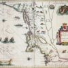
Mapmaker: Justin Dankerts This third-generation example of the Jansson-Visscher series is most lavishly decorated....
08
Mapmaker: Johannes van Keulen The part so far left out of this tale of...