Analysis of Mohawk Deed, 1730
ANALYSIS:
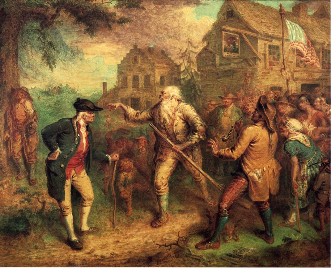
At first glance deeds such as this one, where Native peoples give or sell lands to European settlers, may look like proof of the inevitable success of colonization. However, land deeds could be strategically powerful for Native people and should be considered with this fact in mind. The Mohawk who made this land deal with the Anglo-Dutch settler Johannis Minderse, are one of the six nations of the Haudenosaunee, a group often mistakenly referred to as the Iroquois Confederacy. Though this deed is dated to 1730, Jon Parmenter states in The Edge of the Woods (2012) that “these vast paper claims did not translate, prior to the 1770s, into a flood of settlers toward the periphery of Iroquoia” (xlviii). This is because some of the Six Nations of the Haudenosaunee Confederacy, like the Mohawk cited in this deed, sided with the British during the American Revolution and consequently were forced off of their territory when they lost the war, as settlers pushed westward into the continent. The Mohawk were pushed to the northern edge of their territory, and still live on reservations that bridge the present day US Canada border.
In the colonial period the Haudenosaunee were incredibly powerful. They controlled much of the beaver fur trade across what is now New York state, and their strong clan based government system meant that they often conducted political, military, and economic deals with settlers or brokered deals for other Native nations with settlers. This meant that their social and cultural norms were important parts of political processes. For example, on the final page of the document, we can see signatures of Anglo-Dutch witnesses on the left with the same names repeated multiple times. Moving rightwards there are columns of Mohawk signatories, underneath animal symbols representing the three Mohawk clans; bear, wolf, and turtle. Leaders of all of the clans would have to be consulted to make the sale, and the Anglo-Dutch signatories would have to witness and sign the deed alongside leaders from all clans to prove its validity. The Haundenosaunee would often retain usufructuary rights even when leasing or selling land, meaning that they could continue to hunt, fish, or camp on lands that were also designated for European settler use.
The land itself can also tell us more about Native worldviews and political strategies of the colonial period.The degradation of the paper makes it hard to grasp the exact dimensions of this tract of land, the pieces that are still legible are interesting for their focus on water as much as on land. The boundaries of the tract are delineated almost entirely by what significant features of the “Mohacks River” they lie along. In Saltwater Frontier (2015), Andrew Lipman writes about how waterways and overland trails served as “busy arteries” (25) connecting coastal communities to the inner continent. Access to the Mohawk and Hudson Rivers were crucial for transporting goods and people to and from Schenectady, Albany, and New York City for Natives and settlers alike.
While through contemporary eyes we may see the sale of this land as a weakening of Mohawk power against settlement, Parmenter provides a different perspective. He cites an example from 1661 where the Mohawk gifted a tract of land they had previously driven the Mahican off of to Arent Van Curler. Though they could no longer live on this land, Parmenter writes, “the Mohawks hoped to leverage their gift of cleared land…into a new Dutch trading post twenty-four miles closer to their easternmost town. Mohawk-brokered trade and diplomacy at this new locale would spare Iroquois traders a tedious overland passage to the increasingly rough-and-tumble trading scene at Fort Orange. The Mohawks’ plans were grounded on their growing kinship ties to the Dutch settler population, personified by Van Curler, who then had a nine-year-old daughter living with her mother’s family in Mohawk country” (113-114).
Though there’s more research to be done about this 1730 deed and whether it was a similar type of transaction to its 1661 counterpart, the 1661 example is an important reminder to question the motivations of all of the parties involved in colonial land transfers in order to understand what the arrangement meant to each group culturally and politically. Through these questions we gain a more nuanced understanding of Native-settler relationships in the colonial period.
For information about Mohawk place names visit: https://decolonialatlas.wordpress.com/2015/02/04/haudenosaunee-country-in-mohawk-2/
For more information on Native knowledge of waterways of the Northeast visit: https://lbrooks.people.amherst.edu/thecommonpot/map2.html
To learn more about the Haudenosaunee today visit: