ANCODS – Australian Netherlands Committee on Old Dutch Shipwrecks
The title is an acronym for the Australian Netherlands Committee on Old Dutch Shipwrecks. It was established in 1972 to maintain the sites and artifacts from the wrecks of 17th- and 18th-century Dutch ships off the coast of Western Australia.
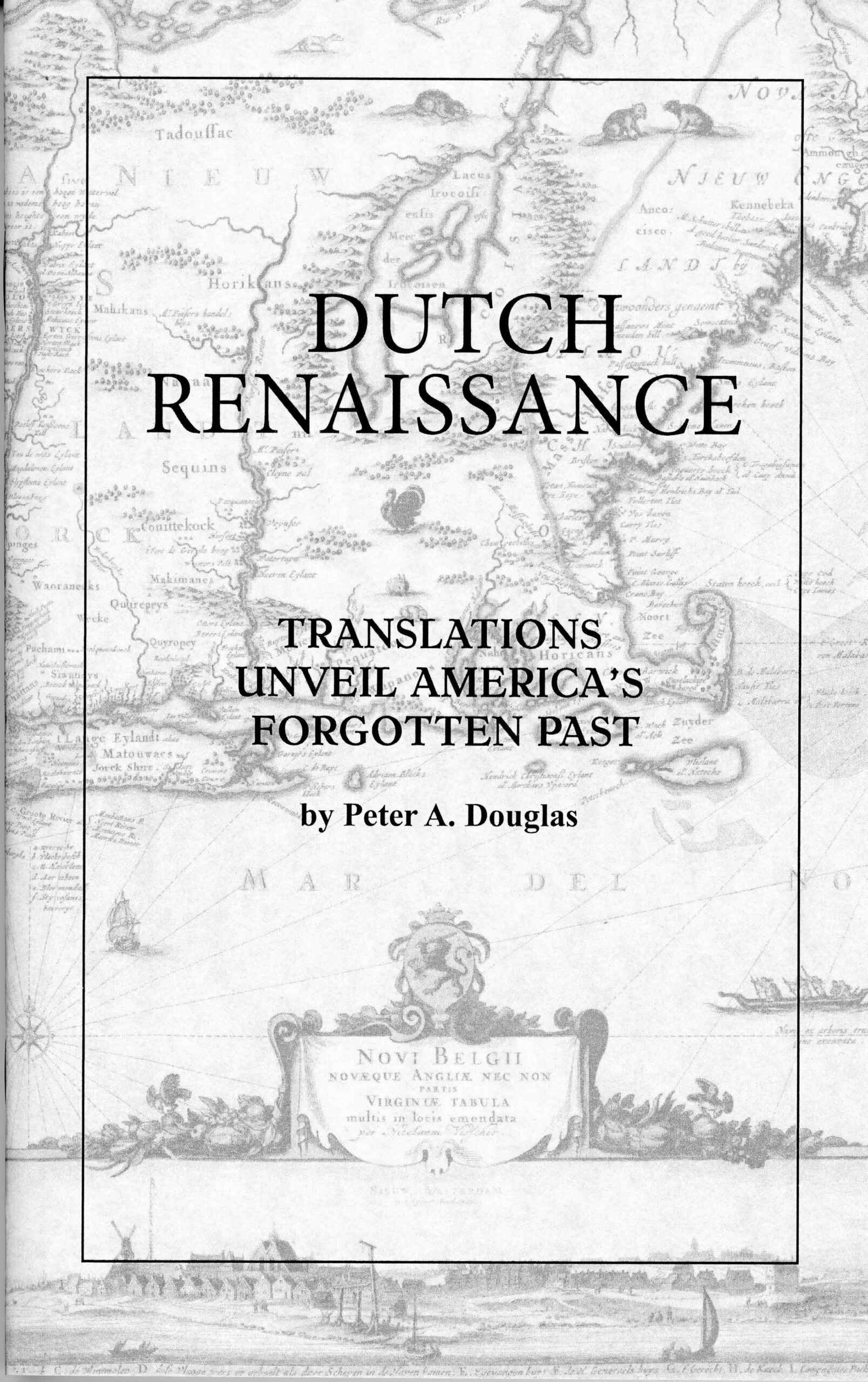
by Peter Douglas
This agreement also clarified the legal and international issues over the wrecks and their cargoes between the two countries, plus the interests of the Western Australian State government, and the Western Australian Museum.
In the 1960s four Dutch East India Company (VOC) shipwrecks were discovered and identified off Western Australia, and the shared history of the two countries, along with the wealth of archaeological artifacts, led to the international cooperation that created ANCODS, which immediately sought to check the looting and souvenir hunting at the wreck sites. The goal was also to maintain the physical integrity of the many thousands of elements of this collection under the administration of the Western Australian Maritime Museum instead of their being scattered among four museums in two countries. Associated projects include education, dissemination of information, scientific research, and community access. For more information go to: www.heritage- activities.nl/ancods
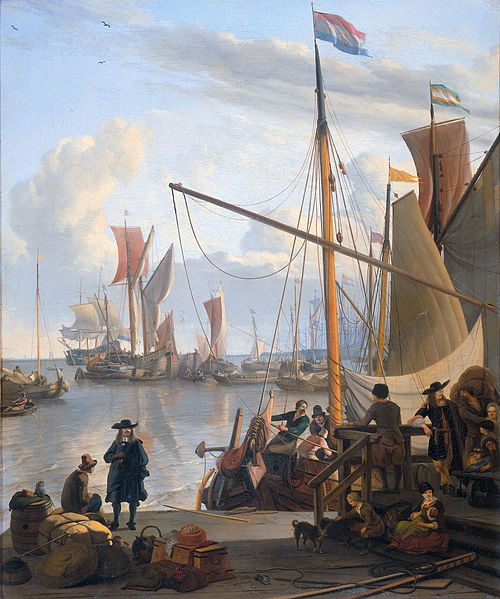
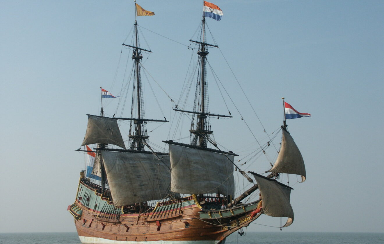
By 1620 the VOC had set up their Dutch-Asian shipping network that connected the Netherlands with the lucrative far eastern spice trade. Its principal trading post was Batavia (now Jakarta) and it was to this port that the four wrecked ships were heading. They were: Batavia, wrecked in 1629, Vergulde Draeck (1656), Zuytdorp (1712), and Zeewijk (1727). The British East IndiamanTryall also met its end here in 1622, and is Australia’s oldest known shipwreck.
How did ships en route for Indonesia end up off Australia, so far to the south? Often this was due to simple navigational error, as well as the usual hazards of the ocean. To reach Batavia VOC captains would often take what would later be called the “Clipper Route,” sailing around the Cape of Good Hope and then using the “Roaring Forties,” the strong westerly winds between 40 and 50 degrees south, to speed their passage across the southern Indian Ocean. Then, at the correct longitude, they would head north for the Indies. However, until the development of an accurate marine chronometer in the 18th century, mariners struggled to determine their precise longitude, and some ships failed to make the turn north in time and sailed too far to the east, ending up in trouble on the Australian coast and offshore islands. Additionally, Western Australia has a long and difficult coastline with few natural harbors, and storms in that area often create strong on-shore winds that would drive the ships ashore
These ships are the only vessels of the period known to have been lost on this coast. Three other VOC ships disappeared while sailing between Africa and Batavia and may have ended up in Australian waters, though no trace of them has been found. They are Ridderschap van Holland (1694), Fortuyn (1724), and Aagtekerke (1726).