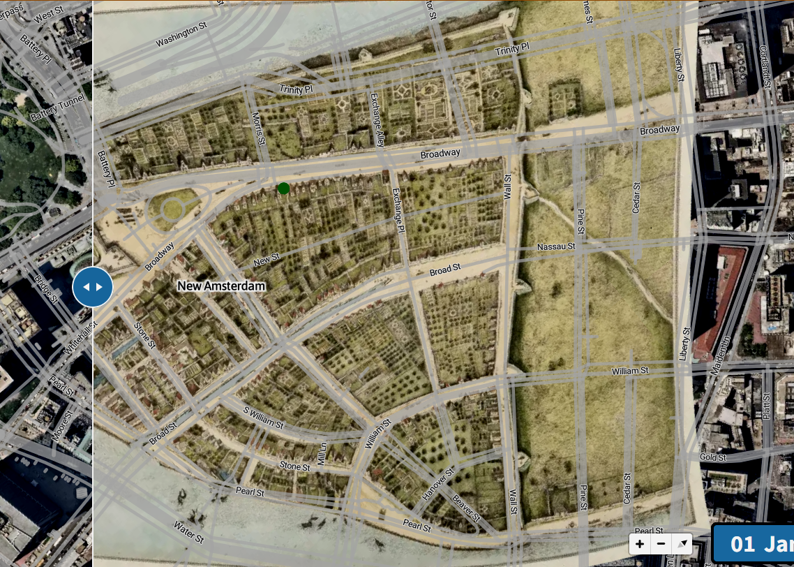
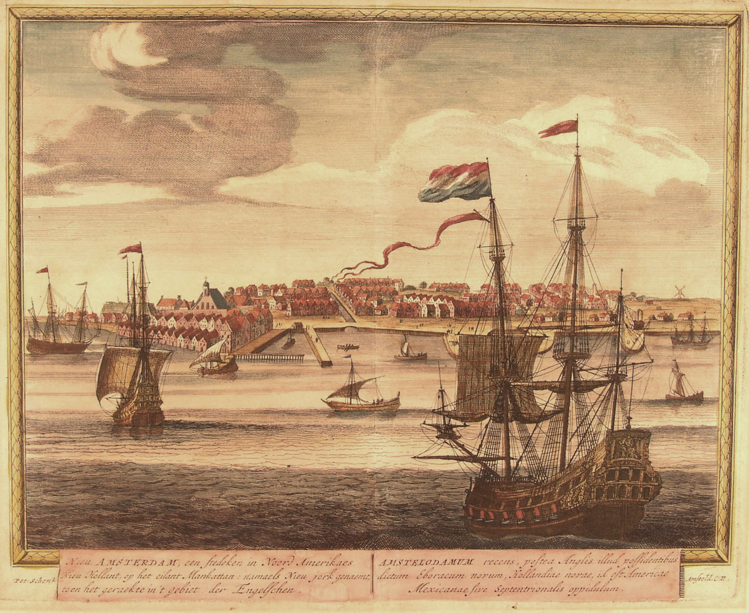
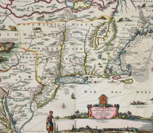
Charting New Netherland
Maps from Europe’s Age of Discovery reveal how New Netherland and the Northeast took shape. Charting New Netherland, 1597–1682 traces a growing knowledge of the land. These maps record not only territory but also the ambitions of sea captains, mapmakers, and empires.
Maps of Bert Twaalfhoven
This exhibit highlights three centuries of maps collected by Bert Twaalfhoven, a Dutch immigrant who came to the United States during World War II. After studying at Fordham University, he pursued a business career and later donated his collection there.
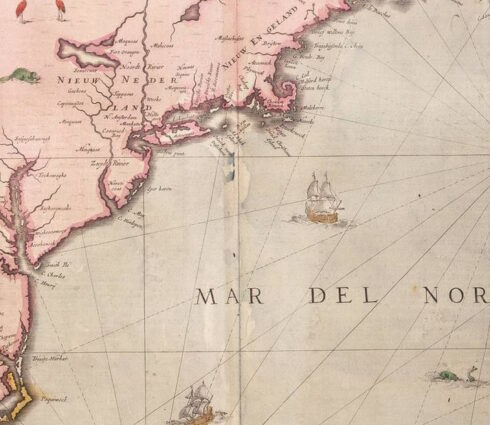
A Tour of New Netherland
This exhibit takes the reader through this lost world from the House of Hope on the Fresh River, today's Connecticut, to Fort Casimir on the South River, known today as the Delaware.